Hiking Mount Liamuiga – A Kittian Mountain

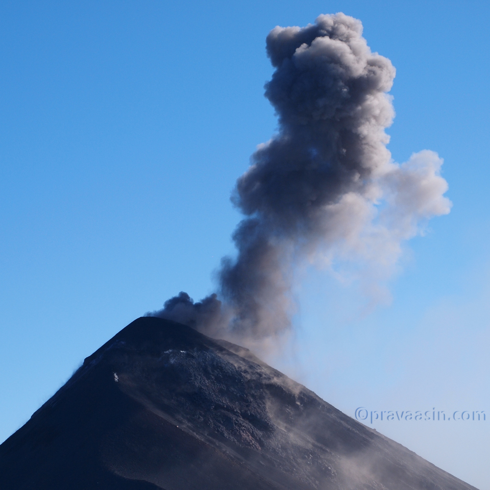
Mount Liamuiga is the tallest peak on the small island of St Kitts. The island has a range of mountains for its size. Mount Liamuiga is a volcano. When I heard about this hike, I was enticed by the views that one could see from the top of the Caribbean sea, the island itself and the nearby islands. I decided to take a local bus to the trailhead instead of a taxi to save money and also experience local culture.

I started late from the Airbnb place, by the time I reached the ferry terminal, it was around noon. All the buses going on the west side of the Island start in front of the ferry terminal. I didn’t know that, I had given up on taking a bus as I didn’t see any bus on the way. So I had decided to take Nevis Ferry and check out Nevis island instead. They didn’t have a ferry till two hours later. So asked the bus (bus in Caribbean is a small van capable of seating about 10-12 people) guy if he was going towards Newton Ground and he was. Trailhead is 2kms inland from the town of Newton Ground.

I got in the bus but as is custom in these islands, bus drivers wait till the bus is full before they start the journey. After 10-15 minutes we were on our way. You can request a stop anywhere you may like, so when I saw the board for hiking trail, I asked for a stop. I paid 2.75XCD for the ride.

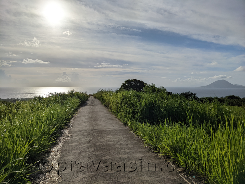
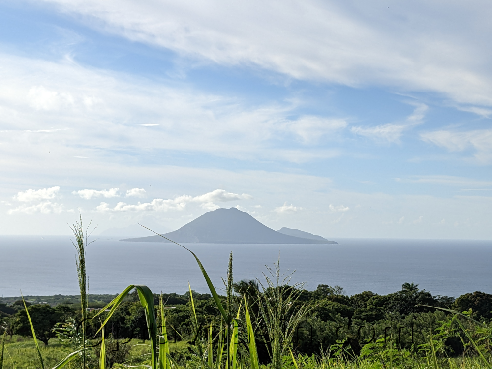
The walk to the trailhead from the main road is a slight incline all the way on a concrete road. I took about 25 minutes to reach the trailhead. On the way to the trailhead, I had splendid views of both Sint Eustatius and Saba islands.

It was 1PM in the afternoon. I asked a group of people returning from the hike as to how long did they take for the hike. They took 5 hours for the entire trip. I had read that it takes around 4 hours somewhere. I didn’t have the luxury of 5hours for the hike. I wanted to get back to the town before sunset. Sunset is at 6PM. So calculated a time when I would turn back even if it meant I had to miss the summit. I decided I will turn back at 3PM whatever be the situation. I will be back at town by 5:30PM which will give me enough time to catch a bus or taxi.

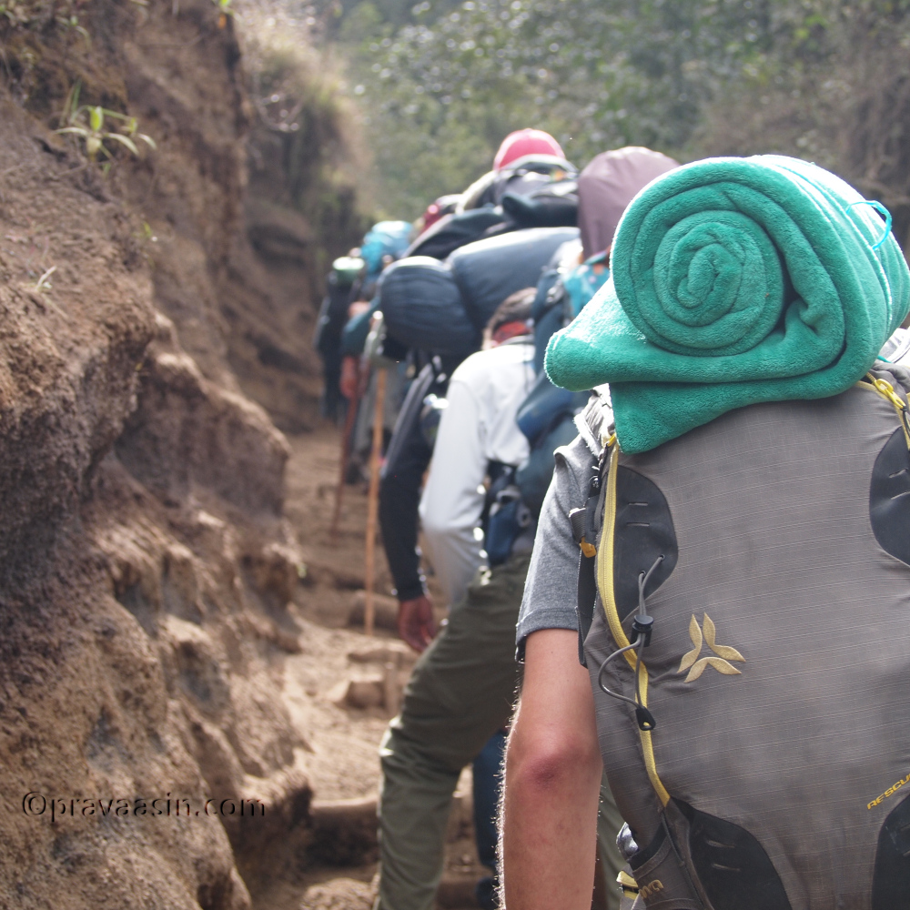
I started the hike immediately. It was a relief to be under canopy cover. The last twenty minutes or so walk was under afternoon sun. The path was well marked. There was a pig from the neighboring farm which ran after seeing me. I was making steady progress. After 15 minutes, met a couple returning back from the hike. Now it meant that I was the only going up the mountain. There was no other cars parked in the parking lot. And assuming no one else is foolish enough to do a hike in the afternoon arriving without a ride back home.

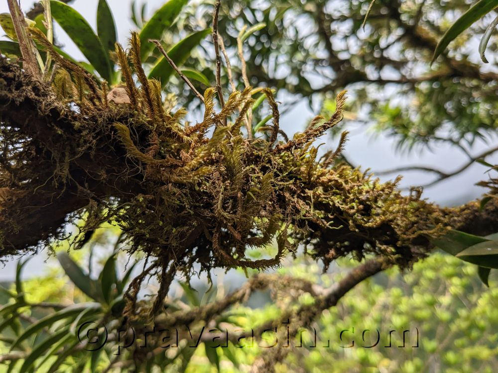
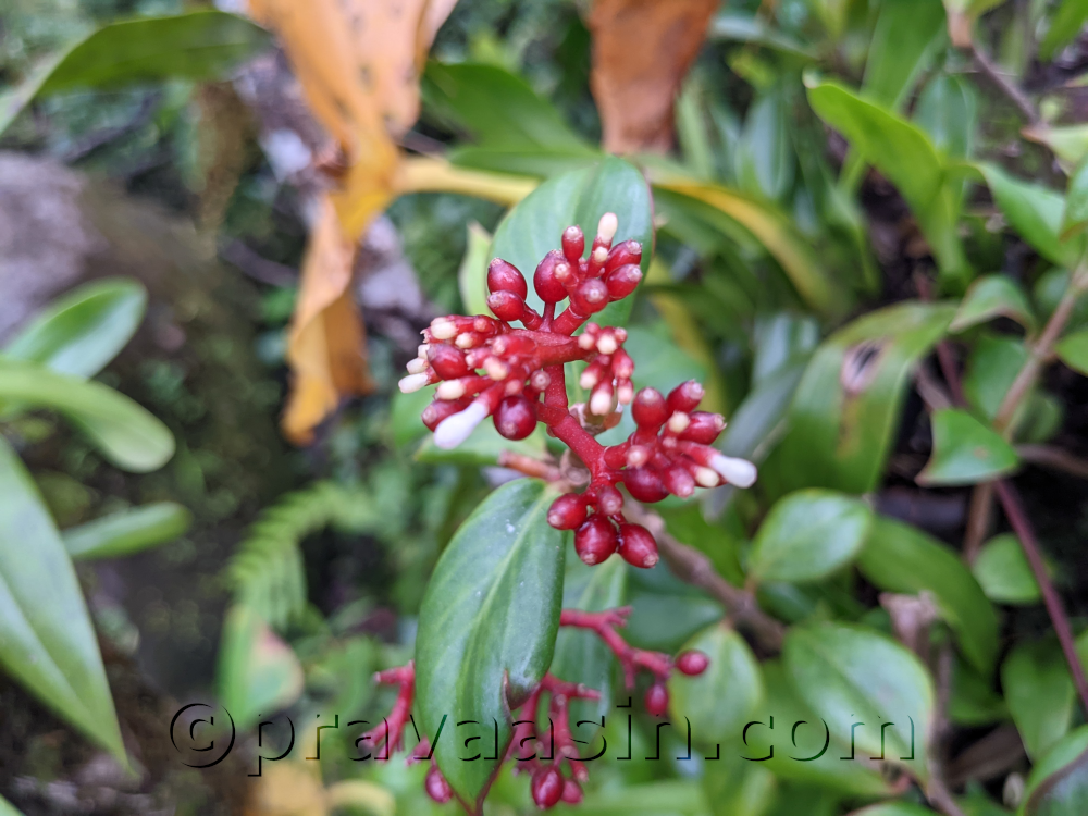
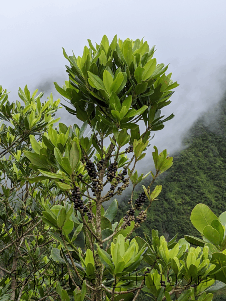
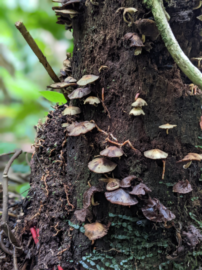
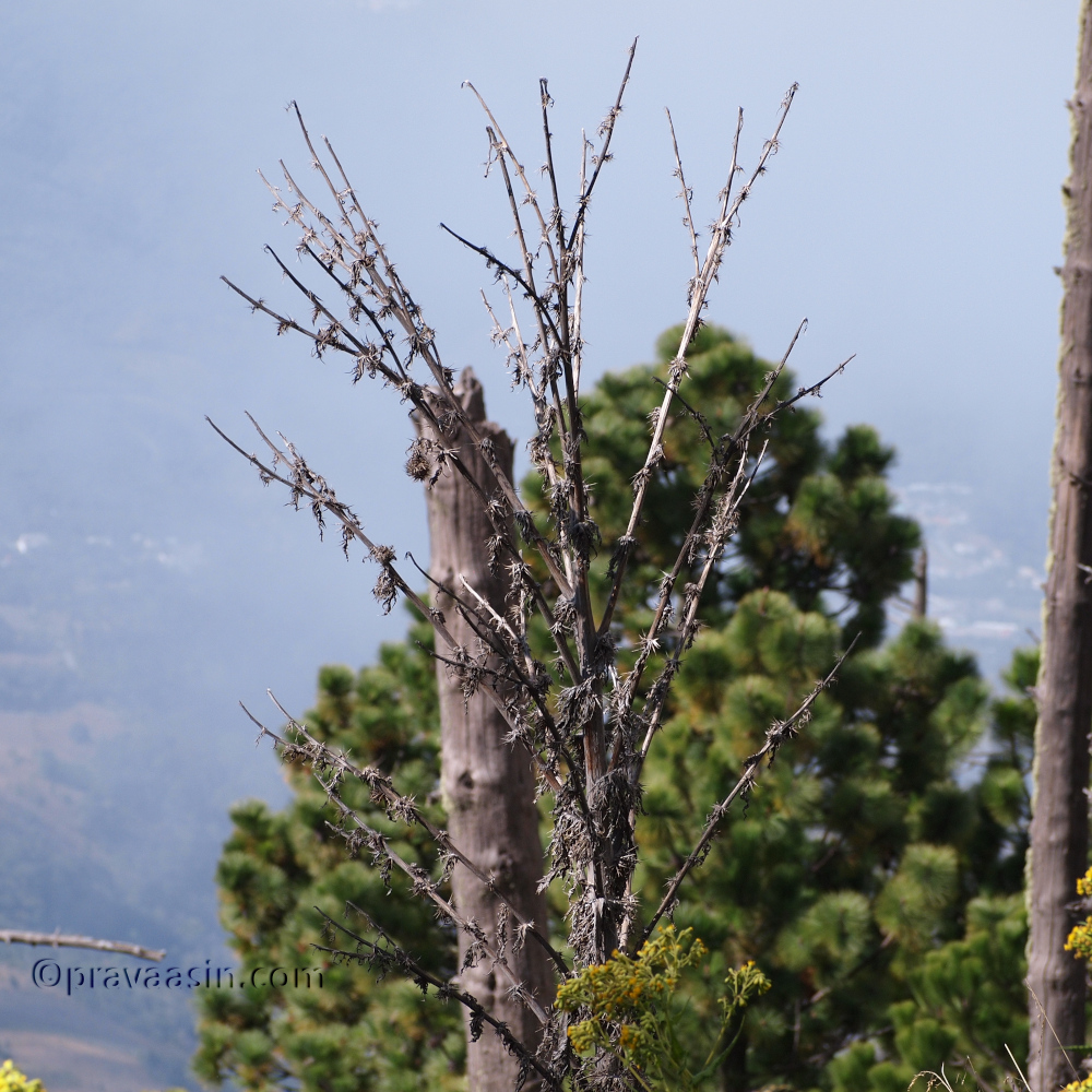
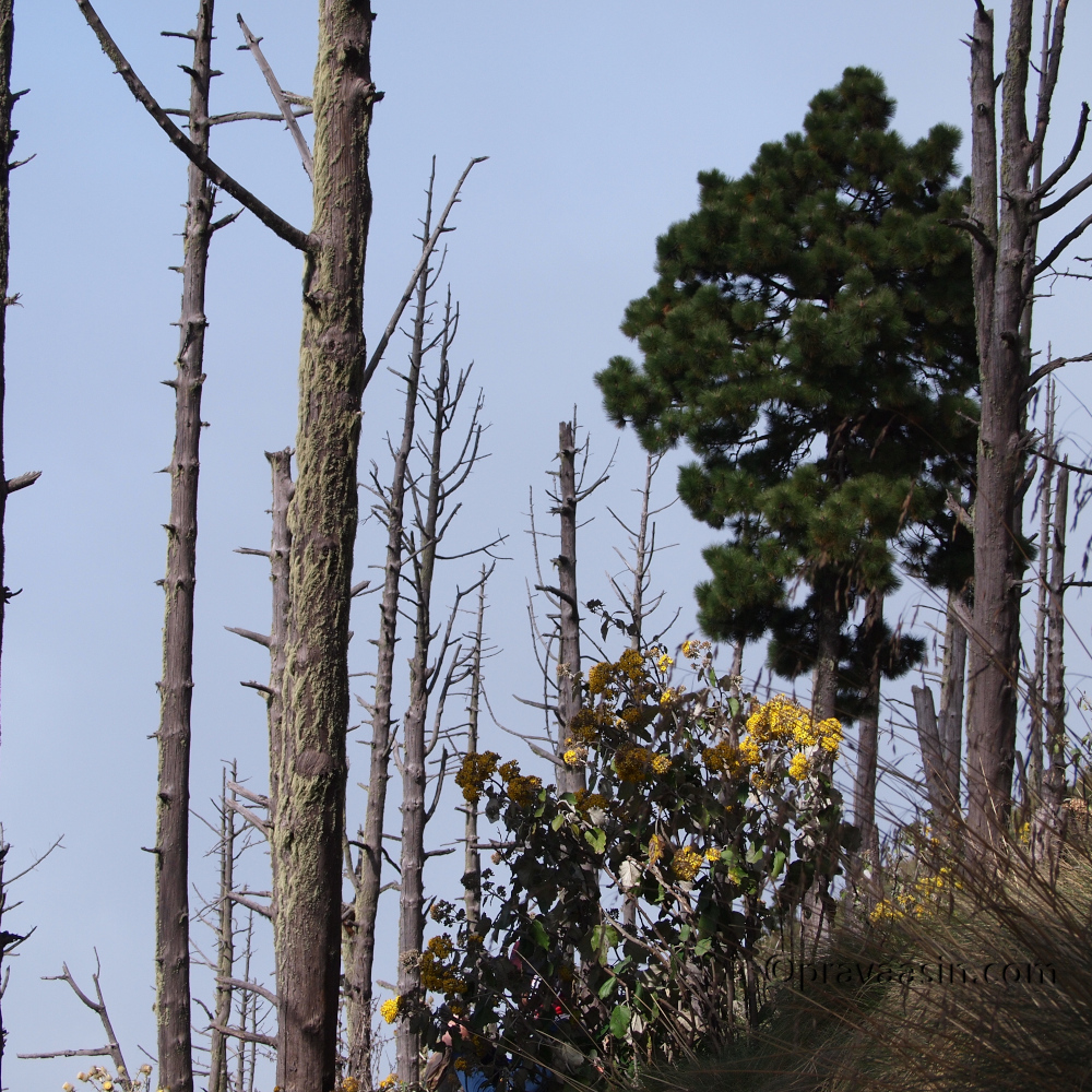
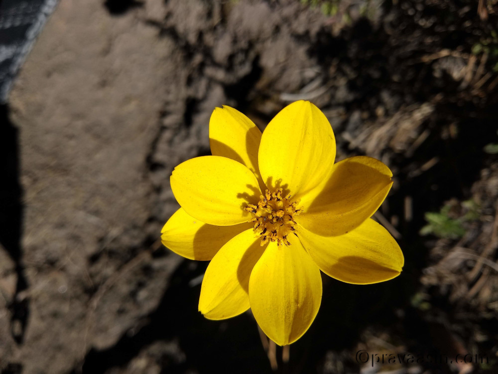
As I was gaining height, it became cooler and the vegetation changed as well.

It was a steady incline but not demanding. It was all under forest cover, so I had no idea where I was and how far it was to the summit. But the markings kept reassuring me that I am right on track. I kept climbing, with occasional pauses for water or for catching my breath. After about an hour, I still had no clue about the summit or where I was. Now I was getting exhausted and my pace began to decline. My mind started playing its tricks now. I wanted the 3PM deadline to come soon so that I can head back. But I kept climbing at a slow pace.

It was one and a half hours of steady climb but I hadn’t come out of the forest cover, nor there was a single clearing from where I could catch a view of the plains or the summit. Now, I wasn’t looking for a summit but for a clearing. I would be disappointed multiple times when I thought I was near a clearing.

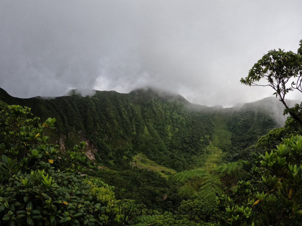
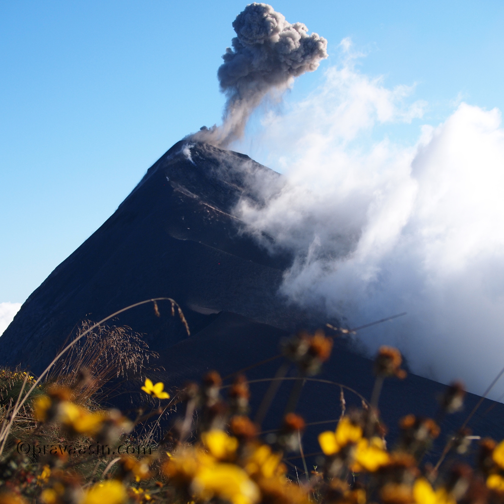
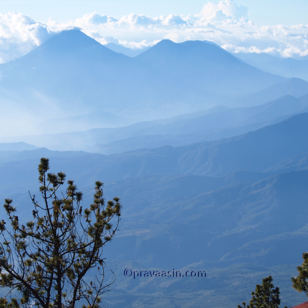
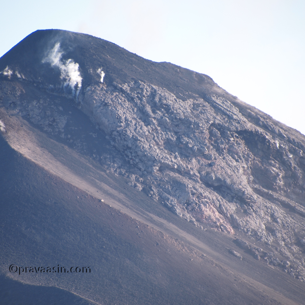
My spirits were declining but I kept moving. The climb started getting steeper. It gave me hope that end might be near. After 15 minutes of steep climb, I came to a clearing. I could see the sea afar. I was happy to have had that view. On the other side, I could see a valley. Beyond the valley was a taller mountain which I assumed to be Mount Liamuiga. I continued after taking pics. But I reached a dead end soon. The mountain I was on had a peak further ahead. Then it occurred to me that the valley is the crater and I am on the rim of the volcano.

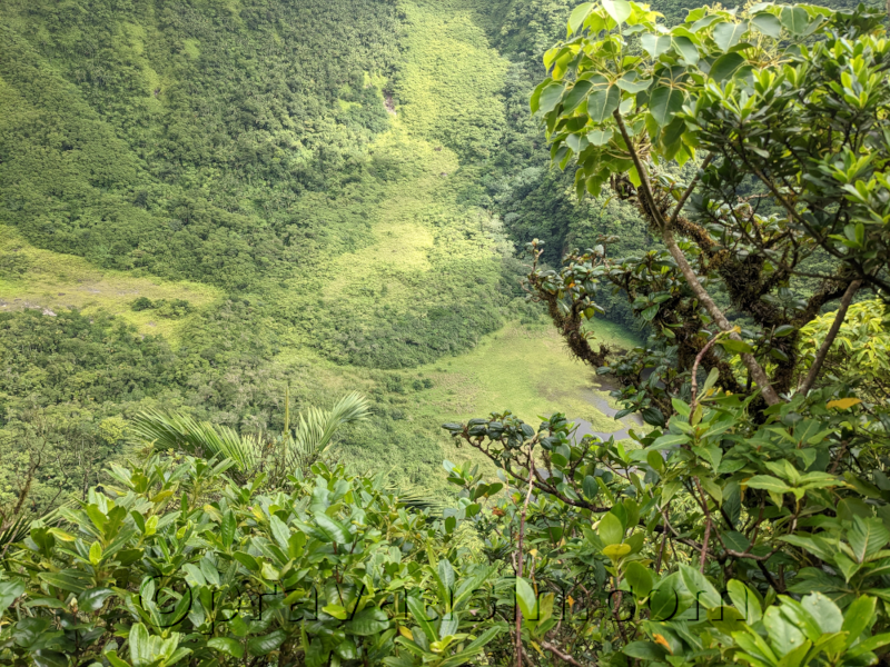
I had made it 5 minutes before the deadline to turn back. So the climb was a bit under 2 hours. I spent some time at the top. There was a path to get down into the crater. I neither had time nor the energy to get down into the crater. I made it back to the trailhead after 1.5 hours. And I made it back to Basseterre before it was dark.

Acatenengo

Volcan El Fuego (literally the Fire Volcano)

I used to be a meticulous travel planner. I used to plan every detail of the trip. I would research and find all the places of interest and chart an optimized route. I used to even read about the history of the place before stepping on its soil. Call it maturity or ageing, now I just land and discover the place. I had no idea about Aktun Tunichil Muknal (ATM Caves) until I was in the hostel in San Pedro. Similarly, I discovered Acatenango Volcano when I was in Antigua Guatemala. I think travelling this way is much more enjoyable and gives you freedom and flexibility.

I had booked my shuttle to Copan from Panajachel which involves one night stay in Antigua and then you proceed towards Copan the next morning. When I got to Antigua is when I found about this hike. So after spending a night in Copan, I decided to come back to Antigua and do the hike. I booked the hike at the hostel. I was told to carry 4 litres of water, warm clothes and a backpack. 2 litres for self-use and 2 litres for common use like cooking.

Starting our trek at the base of Acatenango

A shuttle arrived at the appointed time and took a bunch of us to the base camp. There we got warm clothes, a stick and backpacks. We met our guides. Then started off the climb, it was a gradual ascent in midst of fields. The volcanic soil here is very fertile and farmers grow a variety of crops including corn. When we reached the ticketing office, we were in the tropical forest. Vegetation on the volcano changes as we go higher up. We paid the entry and took a small break.

As we proceeded to climb on the zig-zag route, we started seeing cloud forests with an occasional cloud hanging around. After about an hour’s climb, we reached our lunch spot. We were served a sandwich and juice. While the guides were making themselves Tortillas and beans for lunch. They offered me some. It was the best Tortilla ever. After a strenuous climb with a hungry stomach, everything feels delicious but this was really delicious.

It was getting chilly at the lunch spot, so the layers and jackets were on. As we climbed higher we entered the Alpine forest area. We were above the clouds now and it was sunny. There were pretty flowers all over and the scene from here was breathtaking. I clicked photos away to glory. On a clear day, you can see Lake Atitlan and the surrounding volcanoes from here. We did see them and it was pretty cool.

We took a lot of small breaks till we reached the almost same height as our camp. Here, the path was almost flat and on black volcanic soil. The mountain face was black and the path cutting through it created an incredible scene. Once we crossed this face of the mountain, we were on the face of the mountain facing Volcan Fuego. We could now hear the volcano erupting. After half an hour of walk, we reached our campsite and were face to face with our active volcano.

I put the bag down and sat on the bench watching the volcano erupt. It was sunny then and clouds were playing hide and seek covering over the volcano. It was a well-deserved break with hot chocolate being served by our guides who turned cooks at the campsite. This is where the extra 2 litres of water was being used.

It started getting chilly as the sun was going down. We huddled around a campfire and started talking about various things. Soon, dinner was served. It was time for us to wind down and hit the bed. We were to hike early in the morning to summit Acatenango. I couldn’t sleep, my feet were cold. It was sometime after 11 PM that I got the sleep but I was waking up every now and then. It was announced at 3:45 AM that we were not doing the summit hike because of the winds. I was relieved. I didn’t have proper rest and that hike would have been very difficult for me.

We got up around 6 AM and had breakfast. We started our way down soon. It was smooth except for the last stretch of loose soil. I fell 4 times. We made our way back to basecamp and were soon on to Antigua.

Volcan Arenal – Hot Springs

One of the must-do things in Arenal is getting into Hot Springs. Most of the hot springs are in resorts where you pay a certain fee to get into the hot water. There is a place where you need not pay any entrance fee. It is a river/stream near Tabacon which has the same warm water that goes into the resorts.

It was already pretty dark when we reached the spot. We parked our car on the side of the road. We got off the road and less than 50 meters away we reached the springs. It is one of the coolest experiences I ever had. A warm river. There was moonlight. People had brought candles and it made the entire scene magical. We spent a lot of time in the water. I met many people there and I even taught a couple of guys to speak Sanskrit. One of the best evenings of my life.